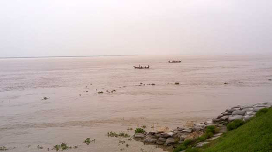
DHAKA, July 27, 2020 (BSS) – Continuous rise in water level of the most rivers in the Ganges basin further worsened the flood situation there intensifying the plights of local people.
Of the 30 river stations monitored in the Ganges basin, water levels increased at 19 stations, while decreased at eight stations and remained stable at three points at 9 am today, aggravating flood situation in chars and low-lying areas, officials said.
But, the rivers were flowing below the danger level at 22 points this morning, while those were flowing above the danger mark at six points.
The rising trend of water levels in Pankha, Rajshahi, Hardinge Bridge, Talbaria, Goalunda and Mawa points was recorded in the last 24 hours ending 9 am today, said Mukhlesur Rahman, superintendent engineer of Bangladesh Water Development Board (BWDB).
Water level of the Ganges River went up by 12 centimetre at Pankha point in Chapainawabganj, eight cm at Rajshahi point, three cm at Hardinge Bridge point and Talbaria point each. The water level of the Padma River rose by two cm each at Goalunda and Mawa points.
But, the Ganges River was flowing 163 cm below the danger level at Rajshahi and 171 cm bellow at Pankha point.
Besides, the water level of the Korotoa River and the Jamuna River under the Brahmaputra Basin has found a receding trend this morning.
Arifuzzaman Bhuiyan, executive engineer of Flood Forecasting and Warning Centre (FFWC), said the water level of the Korotoa River increased by three cm at Bogura point.
He said the Jamuna River’s water level decreased by six cm at Sariakandi point in Bogura, seven cm at Kajipur point and four cm at Sirajganj point but the river was still flowing 113 cm, 93 cm and 84 cm above the danger mark at Sariakandi, Kazipur and Sirajganj points respectively this morning.
The water level of Gur River receded by seven cm at Shingra point in Natore, and the river was flowing 86 cm above the danger mark, Arifuzzaman said.
The Atrai River was flowing 111 cm above the danger level at Baghabari point in Sirajganj district with five cm further rise this morning.
Water level of the Mohananda River also increased by five cm at Chapainawabganj point, but the river was still flowing 86 cm below the danger level.
The Atrai River was flowing 25 cm above the danger mark at Atrai point in Naogaon, while 242 cm below the danger mark with 53 cm decrease afresh at Mohadevpur point.
Water levels in the Brahmaputra basin marked a sharp fall at all points during the last 24 hours ending at 9 am today, improving the flood situation there, BSS Rangpur correspondent reports.
The incidents of sporadic riverbank erosion were reported from some vulnerable points in Kurigram, Lalmonirhat, Rangpur, Nilphamari, Gaibandha, Bogura, Jamalpur and Sirajganj districts.
BWDB officials said water levels of all major rivers decreased at all points following further reduction of onrushing water from the upstream despite having moderate rainfall in the basin.
However, the water levels of the Brahmaputra, Dharla, Karota and Jamuna were still flowing above the danger levels at 10 points in Kurigram, Gaibandha, Jamalpur, Bogura and Sirajganj at 9 am today.
The Brahmaputra was flowing 42 cm above the danger level at Noonkhawa point and 57cm above at Chilmari point, while Dharla was flowing 25 cm above at Kurigram point, Ghagot River 71 cm above at Gaibandha point and Kartoa 19 cm above the danger level at Chalk Rahimpur point.
The Jamuna was swelling up 96 cm above the danger level at Fulchhari point, 104 cm above at Bahadurabad point, 113 cm at Sariakandi point, 93cm at Kazipur point and 94 cm above the danger mark at Sirajganj point at 9 am today.


